Challenger is now 3 days into her mission to connect the shores of Brazil and South Africa as she completes the circumnavigation of the South Atlantic. This will be the longest leg of the mission, however our team is confident we are up to the task.
RTOFS Model of Surface Currents and Sea Surface Height
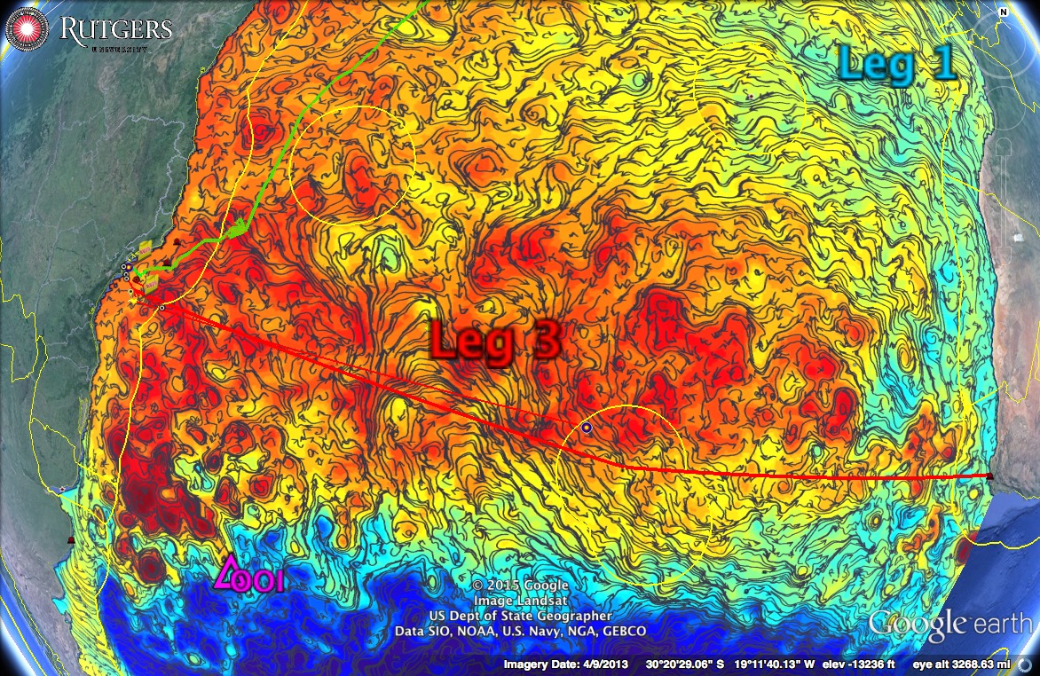
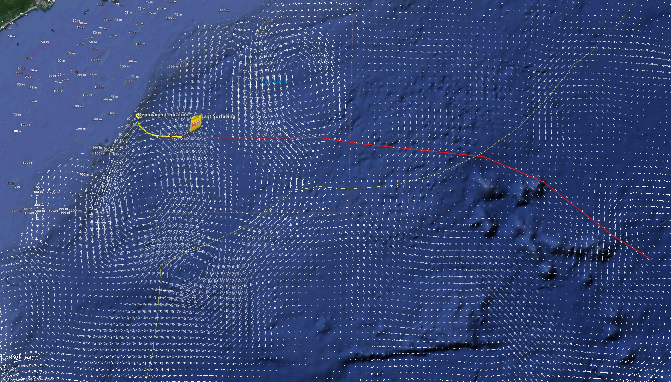
Based on our ocean model road maps and the bathymetry that lies ahead, we hope to fly a path similar to what is outlined below with the red line. The figure below shows 29’s position as of this afternoon overlayed with the Copernicus (formerly myocean) ocean forecast data for roughly 350m depth. The recent forecasts are showing the signature of a large counter-clockwise rotating warm eddy to the south west producing the strong northward push the glider is reporting in her calculations of the currents. The way point is currently just to the North of the island of Tristan de Cunha well off to the South East, but combined with the eddy’s flux to the north-north-west the glider is flying nearly due east.
Copernicus Currents from ~350m depth
Looking ahead, Antonio provided us with a neat plot of the northward component of the currents of the South Atlantic. In the figure below, red signifies northward components of the current while blue represents a southern flux. There is an overwhelming overall flux to the north, however we will be doing our best to snake our way through the patches of blue and white as we aim for the southern edges of the counter-clockwise warm eddies and northern edges of the cyclonic cold eddies of the South Atlantic
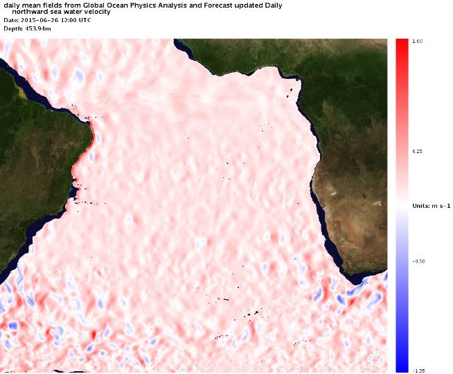
Northward Flux of the South Atlantic at 450m June 26
We also must keep an eye on the bathymetry that lies ahead as there are some significant sea mount formations that we will encounter as we fly to the south east. In the map below of the sea floor, the black line depicts roughly the 1300m isobath.
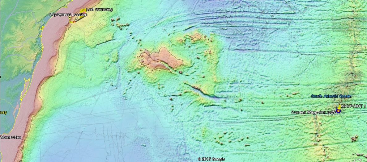
Bathymetry of the South Atlantic
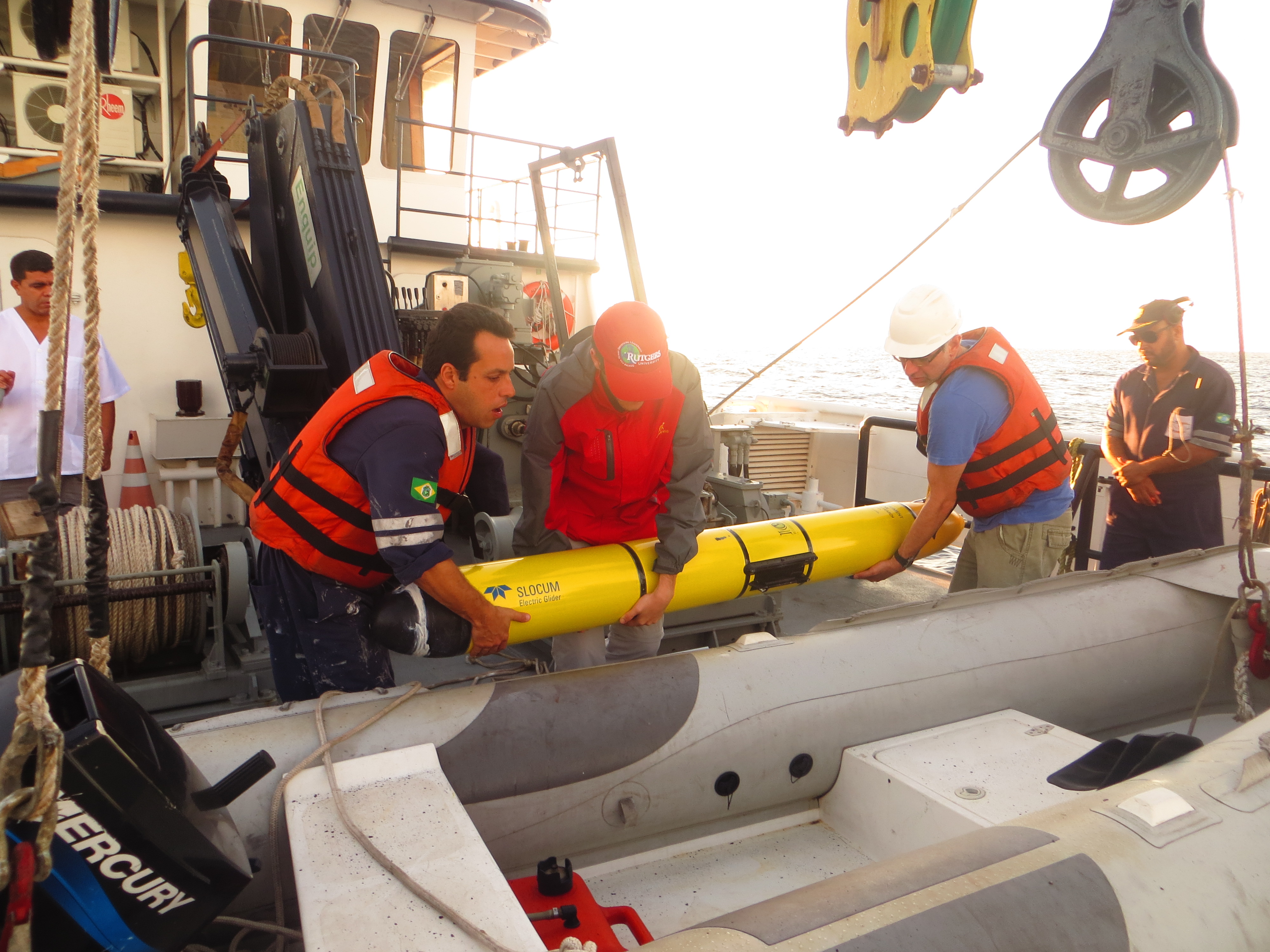
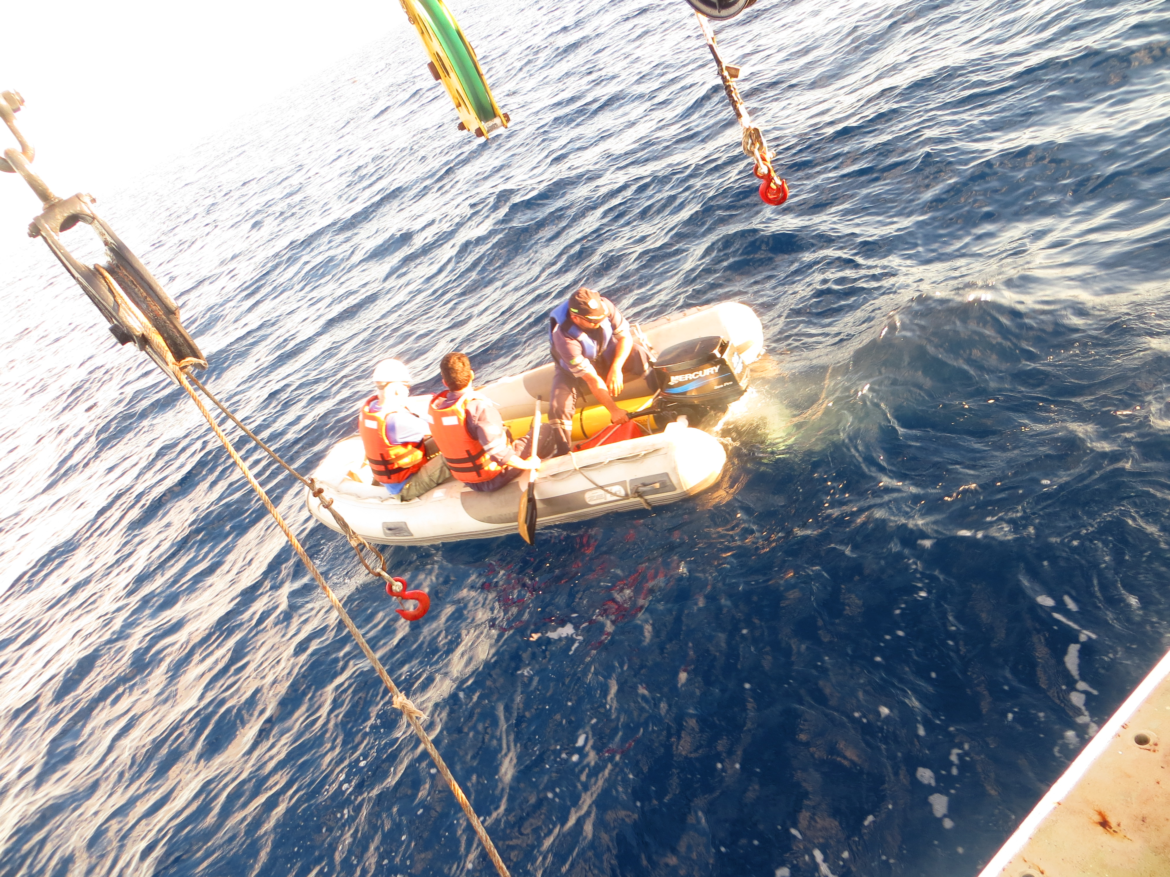
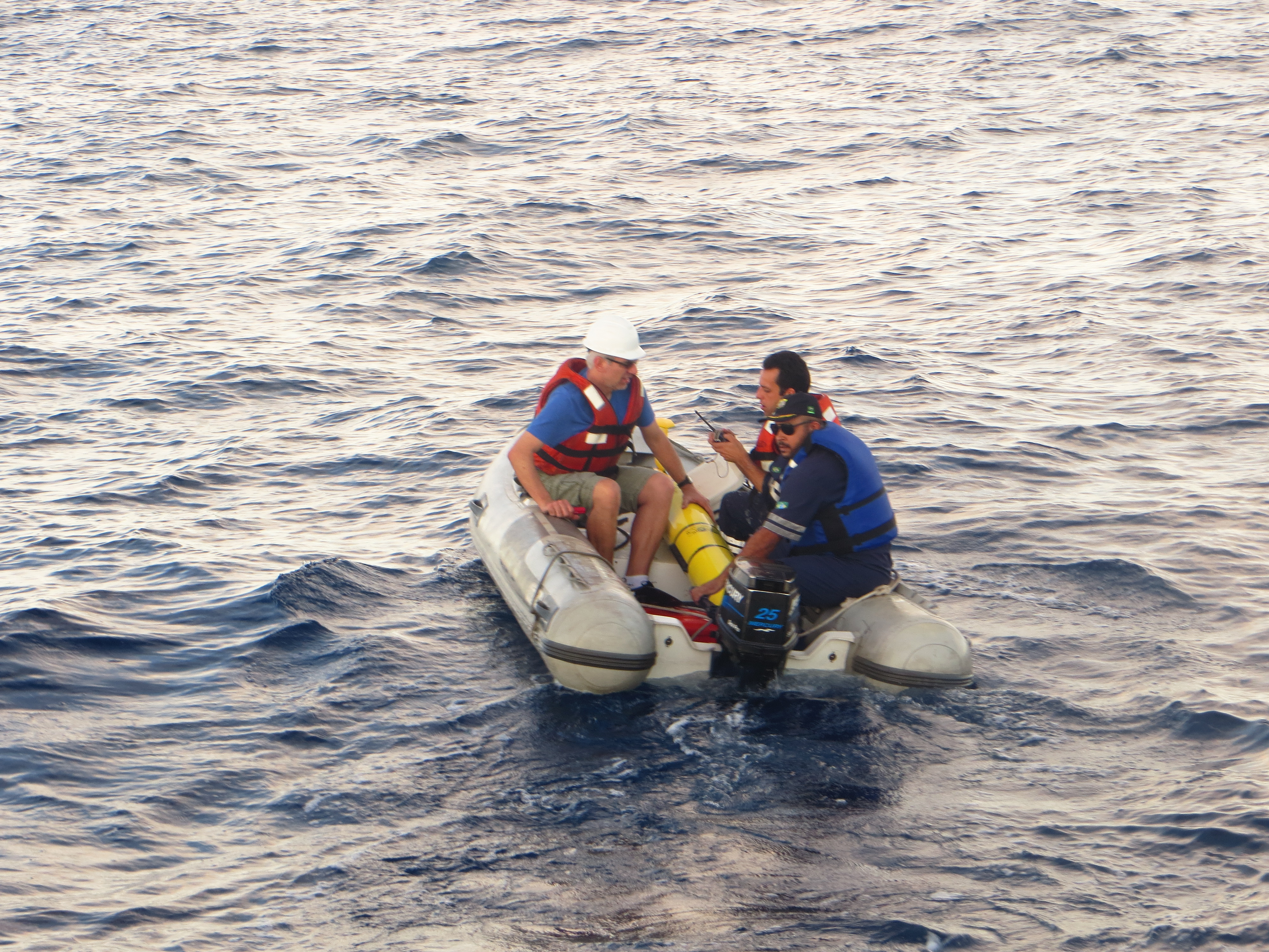
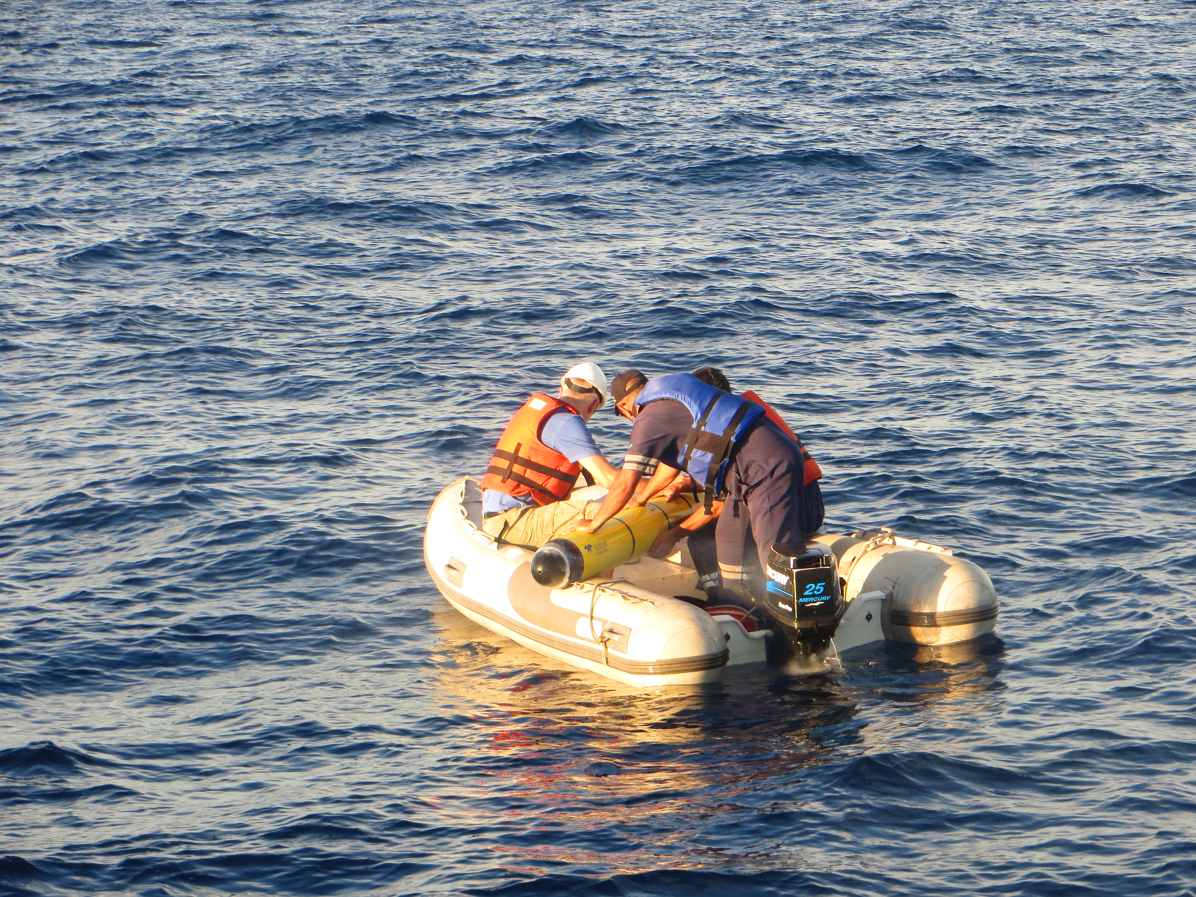
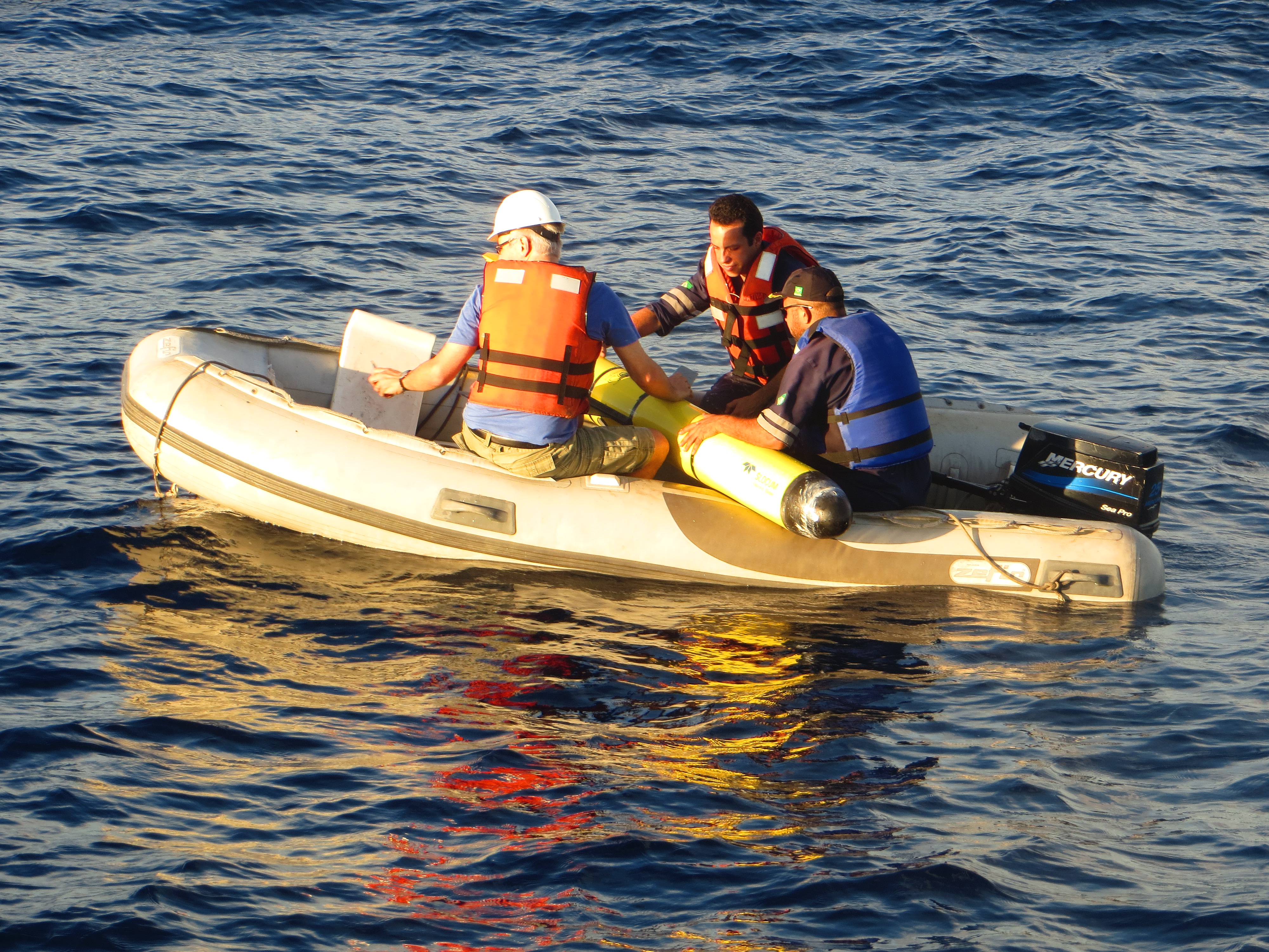
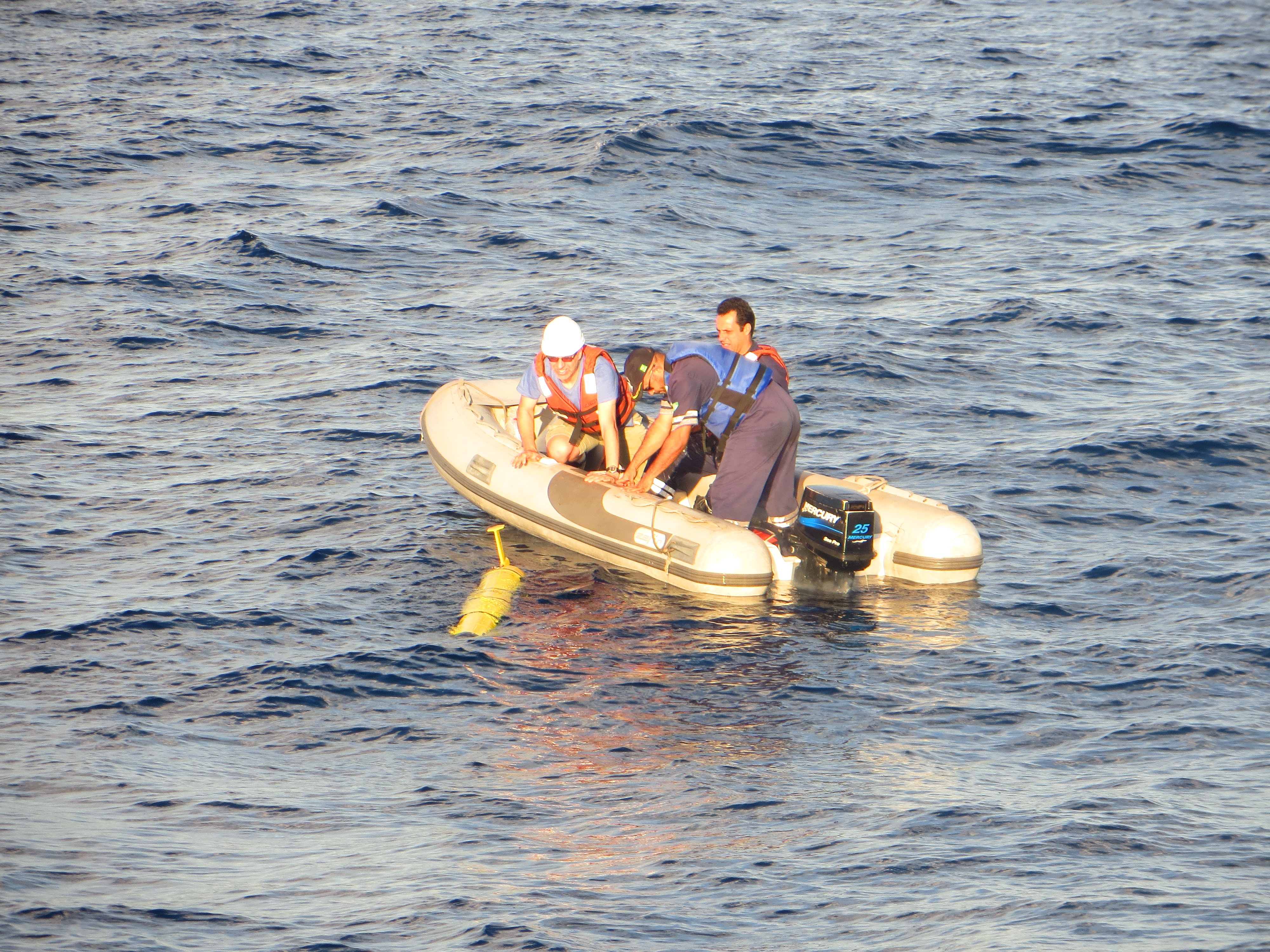
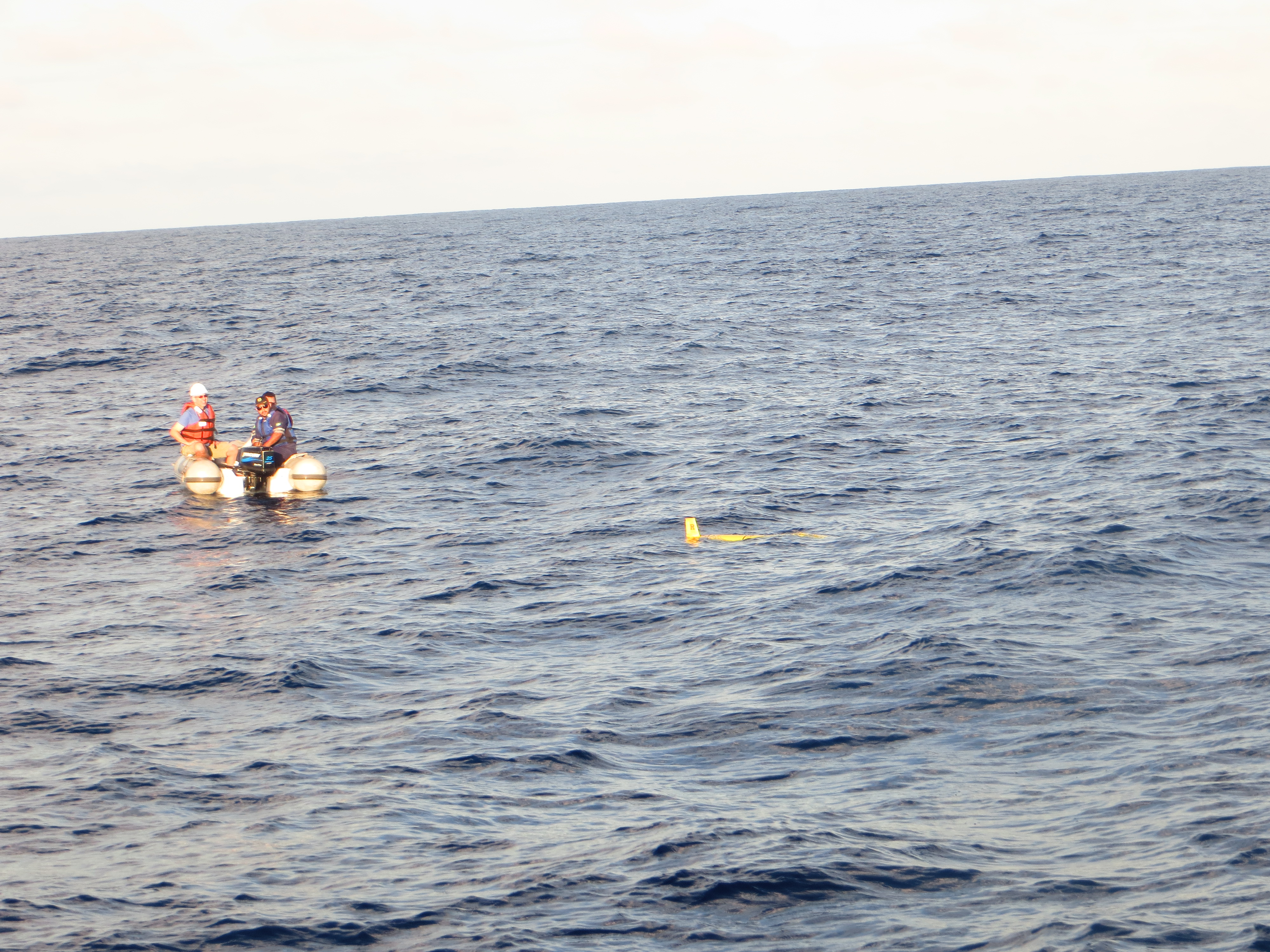
Finally, the following are pictures taken off the coast of Brazil earlier this week while Dr. Marcelo Dottori and his team deployed Challenger
Force Wind Sea & Honor