Author: admin (Page 12 of 36)

Shifting our Heading

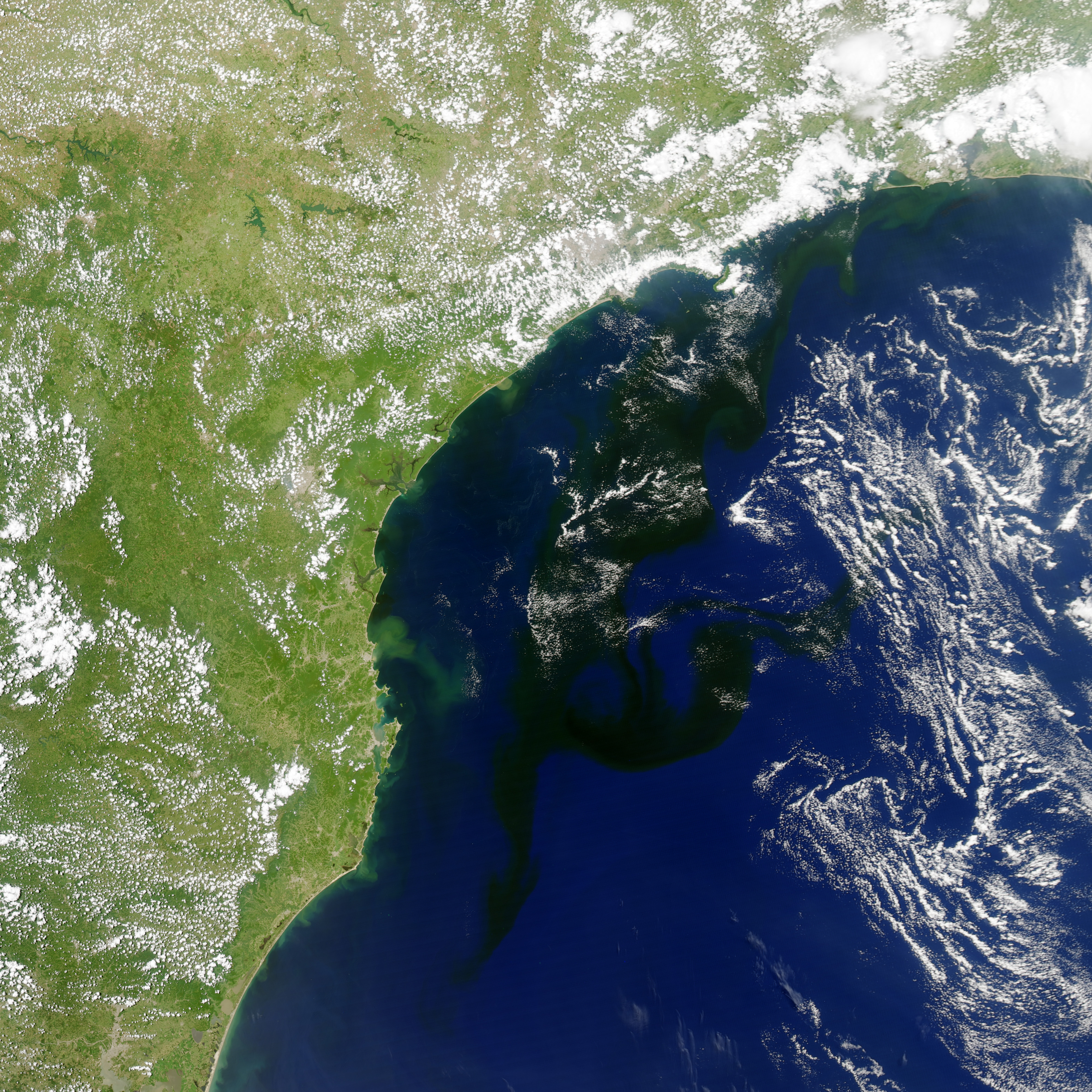
As the Vitoria-Trindade Seamounts loom ahead of us, the team has begun to make adjustments to the way points as we discuss the ideal path across the mountain range ahead of us.

So far we have shifted the waypoint to having a more southern position relative to our flying path as we make our approach.

One thing we must keep in mind is that we need to remain in international waters for as long as possible along the journey. So now that we are aiming 29 due south, we now open up our options of flying between the two seamounts- taking a risk with the unfavorable bathymetry, or flying in the wider gap between seamounts and risking entering another countries waters.

feb_7

Looking at our comparison of the currents, it appears that uniformly throughout the water column, there is a strong eddy signature to our immediate west that 29 is perched on- however the two models show us at slightly different positions along the north east sector of this cold core ring, resulting the current ranging from south east (RTOFS) to south west (myocean)

MyOcean- blue 0m
RTOFS- yellow 0m

MyOcean- blue 300m
RTOFS- yellow 300m

MyOcean- blue 600m
RTOFS- yellow 600m

MyOcean- blue 900m
RTOFS- yellow 900m

Dark Blue- depth average currents
light blue- surface drift

29 however is showing a surface drift closest to the myocean’s top layer as she floated to the west while at the surface.  Subsurface however the resistance was to the north east.

Force Wind Sea & Honor

New Bloom

Something interesting is brewing off the coast of Brazil:

A massive plankton bloom is slithering its way down the coast of the South Brazil Bight, right through where we plan to fly RU29 as we make our way to port in the upcoming months.  Right now, this region is in their mid to late summer where the plankton can flourish in the long summer days.  Although it is still early, we will keep an eye on this event as we may grasp this opportunity to do some sampling of the waters of the bloom as we prepare for recovery.  To view live and archived data from NASA’s satellite repository, click here

Today the models of the currents have begun to disagree a bit with each other:

Myocean’s sweeping pattern is now flowing at almost a 90 deg angle compared to the tight RTOFS eddies at the surface

MyOcean- blue 0m
RTOFS- yellow 0m

MyOcean- blue 300m
RTOFS- yellow 300m

down to 300m, the difference strengthens as they part to nearly an angle of 150˚

MyOcean- blue 600m
RTOFS- yellow 600m

By 600 m depth, the current are almost completely the opposite of each other, and this pattern continues as we go down to the bottom of our oscillation past 900m

MyOcean- blue 900m
RTOFS- yellow 900m


Dark Blue- depth average currents
light blue- surface drift

Loking to 29’s calculations, overall the depth average current is still to the north west while the surface drift has intensified again to the south west.


Force Wind Sea & Honor


That Groundhog Means Business

Less than a day after the disgruntled groundhog saw his shadow, delaying the end of winter for another 6 weeks, the mid-atlantic bight is getting hit with yet another snow storm, dumping between 8-12 inches of snow over New Brunswick where we call home.

Turning to the South Atlantic, Challenger is continuing to make good time as she is now roughly half way along the planned route from Ascension to Rio.

The models of the currents have even been found to be in agreement with each other:

while myocean shows a more sweeping pattern compared to the RTOFS eddies, both models show a pretty strong flux to the north west in our current location within the top 400m

MyOcean- blue 0m
RTOFS- yellow 0m

MyOcean- blue 300m
RTOFS- yellow 300m

MyOcean- blue 600m
RTOFS- yellow 600m

However as we dive deeper, the currents begin to stray from one another amongst the models

MyOcean- blue 900m
RTOFS- yellow 900m

Dark Blue- depth average currents
light blue- surface drift

According to the gliders calculations, visualized by Dave Aragon, overall the depth average current is to the north west while the surface drift was actually to the south west- most closely predicted by the direction of myocean which had the most southerly component to the westward vectors

Finally, Hilary Kennedy of the Challenger Society has invited us to be part of her display at Oceanology International the second week of March! We will join them at their booth March 11-13 as we promote education in ocean sciences and gain new friends of the Challenger Mission

Force Wind Sea & Honor

Learning from Our Mistakes

“And why do we fall, Bruce? So we can learn to pick ourselves up.”

As a young Bruce Wayne learned in the first of the Christopher Nolan Trilogy, Batman Begins (2005), we must learn from our mistakes.  Although this is a pretty common phrase, it is still valuable to be in a situation where we can reflect on what we have learned and appreciate the growth we have made.

abortlastgasp


Last May, from the dates of the the 15th to the 25th, Challenger suffered what we feared to be a fatal error when her computer reset underwater, resulting in an infinite loop that prevented any communications between the COOL Room and the glider for nearly 10 days. Upon recovery off of Ascension Island in November, Challenger’s software was upgraded which included a patch that resolved the glider falling into an infinite loop which terrified us so badly. Although this fix did allow us to sleep better at night, early this morning, Challenger suffered from another under water reset, however with our ever expanding experience, our team was able to regain control and get her flying back to normal within hours.

jan292014

Now back on her feet, Challenger is continuing to fly in the upper 20’s- 30 km/day rushing forth towards the shores of Sao Paulo.  Planning ahead, we hope to follow the red line displayed in the image above as we weave our way between Exclusive Economic Zone (EEZ) and Sea Mounts as we prepare to make land fall.  By our estimates, we should be reaching shore by early to mid April if Challenger can continue to maintain these speeds.

Force Wind Sea & Honor

365 Days At Sea


It is hard to believe, but this marks the 365th day at sea for RU29, Challenger. 365daysatsea


After deployment on January 11th 2013, Challenger set forth on a voyage to follow the South Atlantic Gyre’s circulation, connecting South Africa to Brazil before returning to the deployment location of Cape Town, expected to happen by mid 2015. So far, she has traveled over 7100 km and has averaged roughly 20km/day and has gone as fast as 33 km as of recent.

Force Wind Sea & Honor

Just in time for the holiday shopping: Pinzon 4D now with Sea Surface Height!!

You got that right! Antonio and his group have done it again rolling out another new product: Pinzon 4D with Sea Surface Height!

1470494_10201820527969477_1868179558_n


We are now able to see the altimetric data in 4 D to get a new perspective on how the ocean is moving around Challenger as she is at sea.

pinzonssh


With this new view on the landscape, we can see how with the current way point, Challenger is sailing down what appears to be the outer western edge of a counter clockwise spinning warm eddy and on into the eastern edge of the clockwise spinning cold eddy (the center of this eddy solar system).

This eddy system should continue to help us along over the days to come as it provides some reasonably strong currents in the shallower waters while at depth we continue to have the slow yet persistent flow away from where we are trying to fly.

Force Wind Sea & Honor

Update for Dec 13

Hey All,

It’s been a little while since our last post so I just want to update everyone on Challenger’s progress.

challenger1

Basically, she has been FLYING.  After 32 days at sea, she has flown 800km, with most recent days clocking in at 28-30 km/day! At this rate we could be seeing the shores of Brazil by late April of 2014.

And her flight has been smooth as well. So far we are seeing no signs of biological interaction with this mission.  She is completing 5 yos between 150 to 980 m every 14 hours like clock work.  It seems, all of Dave’s hard work of changing the duration of a segment between each surfacing to minimize surface time at night when the flying fish lay their eggs and the overall effort to avoid contact with barnacles is proving to pay off.

turningsouth

This week, we gave Challenger a new wp to the south west.  After reaching the edge of the submarine ridge, we made the decision to now add a more southern component to our progress as we are now free of the potentially harmful bathymetry and magnetic presence. Another interesting fact that we have noticed as we progressed passed the ridge, is that the currents have ceased the oscillation we had encountered and have now returned to the steady north east flow from earlier in the mission.

oscillations


Looking to Antonio’s visualization of the myocean model via PINZON, the currents to the surface continue to flow in our favor to the south west towards South America, confirmed by the direction of our surface drift (blue vector in the second image below).  However if we dive below that past 300m, the subsurface currents persist to the East/NorthEast.  This subsurface resistance we believe will continue for some time, and so it is very important that we continue to avoid any biological hinderance as this will cause drag and slow us further.

myocean12132013


southwestflow


As for now, Challenger is handling things like a champ and we will do our best to keep it that way.

Back at home, the semester is coming to a close and the students are preparing for their finals.  On Tuesday, the students of the Ocean Observatories Class presented their semesters work to Dean Rich Luedescher.

This semester, over 45 students participated in 9 team projects each lead by an undergraduate mentor. Topics covered this fall ranged from future tracks of the Challenger Gliders, analysis of Hurricane impact on the Mid-Atlantic Bight to future collaborative efforts with the Korean research group KIOST.

To view the students presentations, view the classes website here

Force Wind Sea & Honor

So Long UK

Hey All!

Just last night, 29 leapt over another hurtle crossing the EEZ into International Waters and leaving Ascension behind.

uk


Looking onwards to the journey ahead, for roughly another 10 days (~300km) we will continue to do our best to fly to the west. Then we will turn our nose to the south and make the long journey down towards Sao Paulo.


pathtosantos


The reason for the delay in when we switch from making western progress to heading south west, is the string of sea mounts that line up to the south west of 29’s current position. This line of volcanic mountains includes Ascension Island and the Steward Sea Mount that we just flew past.


aroundtheseamounts


Now although the remaining sea mounts do not appear to reach up high enough in the water column to pose a problem, these sea mounts potentially could cause a disturbance in the magnetic field that could pose a problem to the glider.

Looking to the ocean models, although the RTOFS and Myocean do not quite match up, they both agree in a sense that in the upper regions of the water column there are favorable components for the direction we are hoping to fly (RTOFS @ 300m due west; Myocean @ 318m due south.)


rtofs30mtempcurrnov25

RTOFS Temperature and Currents at 300m


blkrtofswhtmyocean

Comparison of Currents: Black Vectors are RTOFS at 300m and White are Myocean at 318m

However if we peel back the layers of the ocean and analyze it at depth, the deep flux continues to be weak to the North East.


myoceanpinzon

PINZON 4D Visualization of Myocean currents

As we continue to make progress to the west the currents at depth should begin to swing in our favor and help us along our way as 29 flies towards Brazil.

Force Wind Sea & Honor


Don’t Cross the Streams

Hey All

Challenger is continuing to make good progress as she flies west towards the sunny shores of Brazil.

nearingtheboarder


Now more than half way to the edge of the exclusive economic zone, she continues to fly at incredible speeds of just under 30 km/day!

This is an immense increase compared to on the previous mission where we were flying much closer to low 20 km/day into the high teens and at some points even below 10km/day!

While on the island, Scott came in contact with a group of researchers that have studied the migration pattern of Sea Turtles that frequent a path from Ascension to Brazil. The team was generous enough to share a number of files with us that included gps tracks of the turtles movements.

challengerturtles


Based off of this new map I was able to create with the google earth tool box in matlab, we plan to continue our flight due west for the time being. We will then move the way point south west where we see that gap in the green line.  In this region, there is a gap in the sea mounts that are scattered through this area that we will utilize in order to make southern progress towards Sau Paulo.

Although many of these sea mounts do not appear to reach high enough up to pose a physical barrier to Challenger’s progress, we want to avoid these areas just in case the magnetic properties of the rock  are to blame for the issues we had in our previous mission.

Force Wind Sea & Honor

Back In The Game

Hey All,

Well Challenger is back in the game flying to the west of Ascension with her eyes set on Brazil.

RU29 Departing Georgetown


Now that we are flying to full depth and with the current at our back, we are making great progress reaching speeds of up to 27 km/day!  Dave has set the gliders parameters so the pump thow is -200/+175 with dives and climbs at an angle of 26˚.

challengernov15

Looking to the PINZON visualization of the myocean forecast, the currents at surface will be pushing us right along on our way while at depth, although not in a completely favorable direction, are weak enough where they won’t slow us down too far.

As for now Challenger is flying like a champ and we will do our best to keep it this way!

Force Wind Sea & Honor

« Older posts Newer posts »