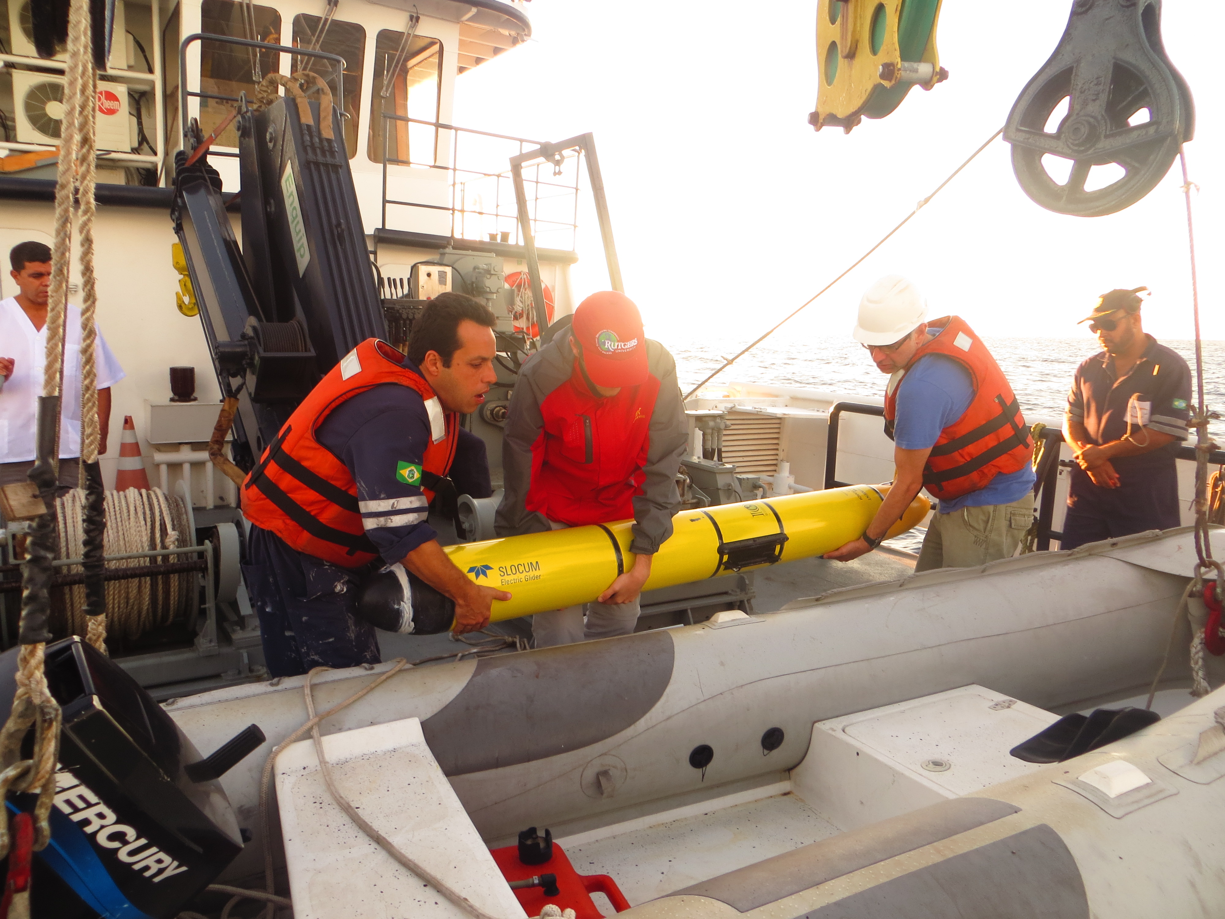
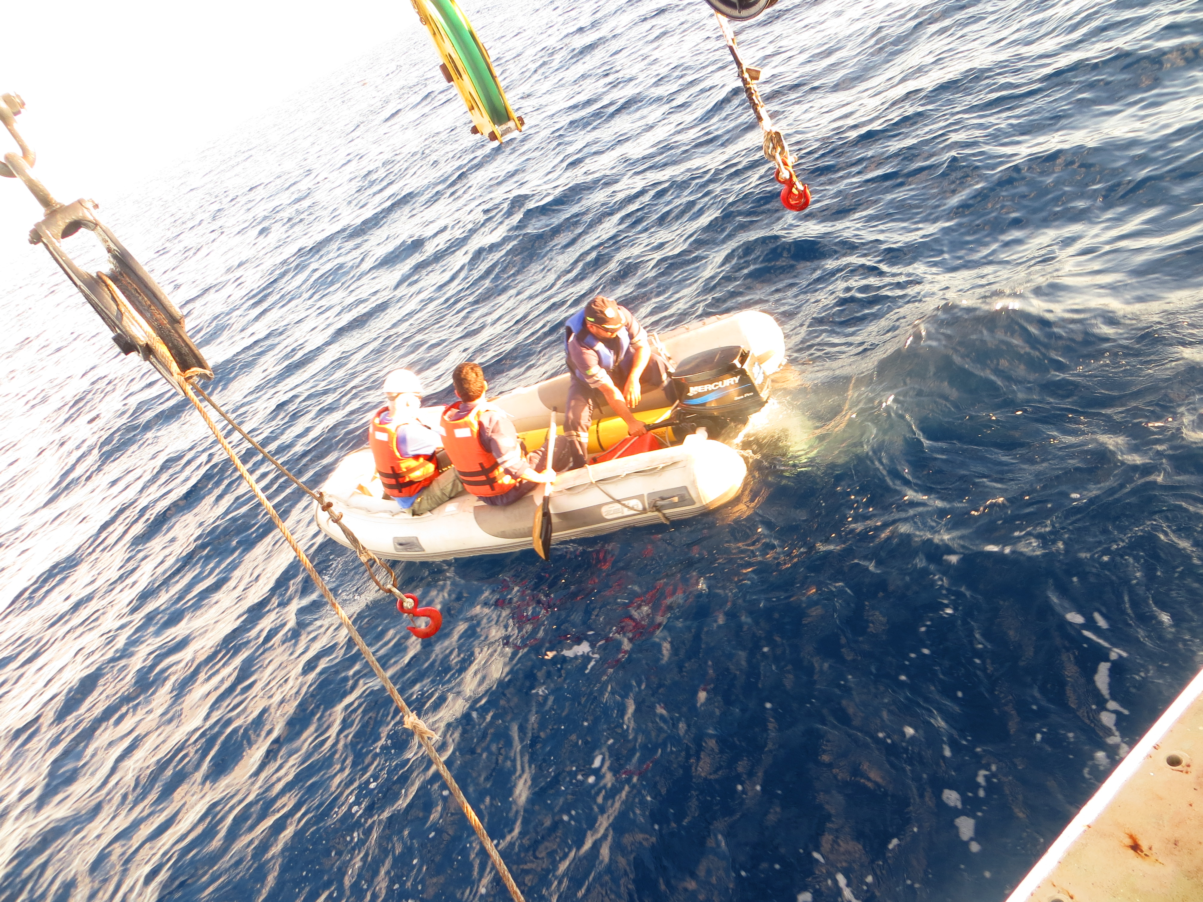
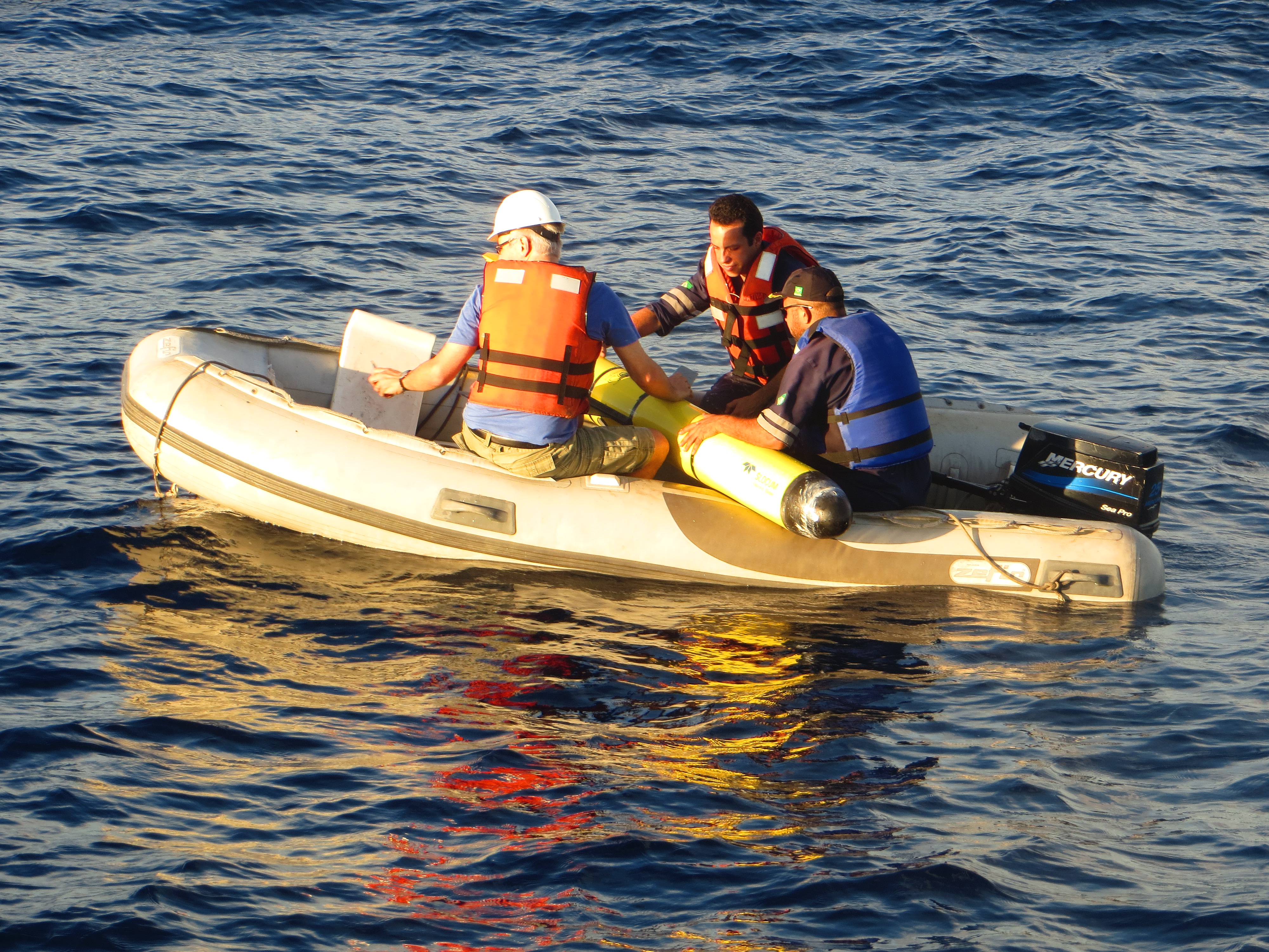
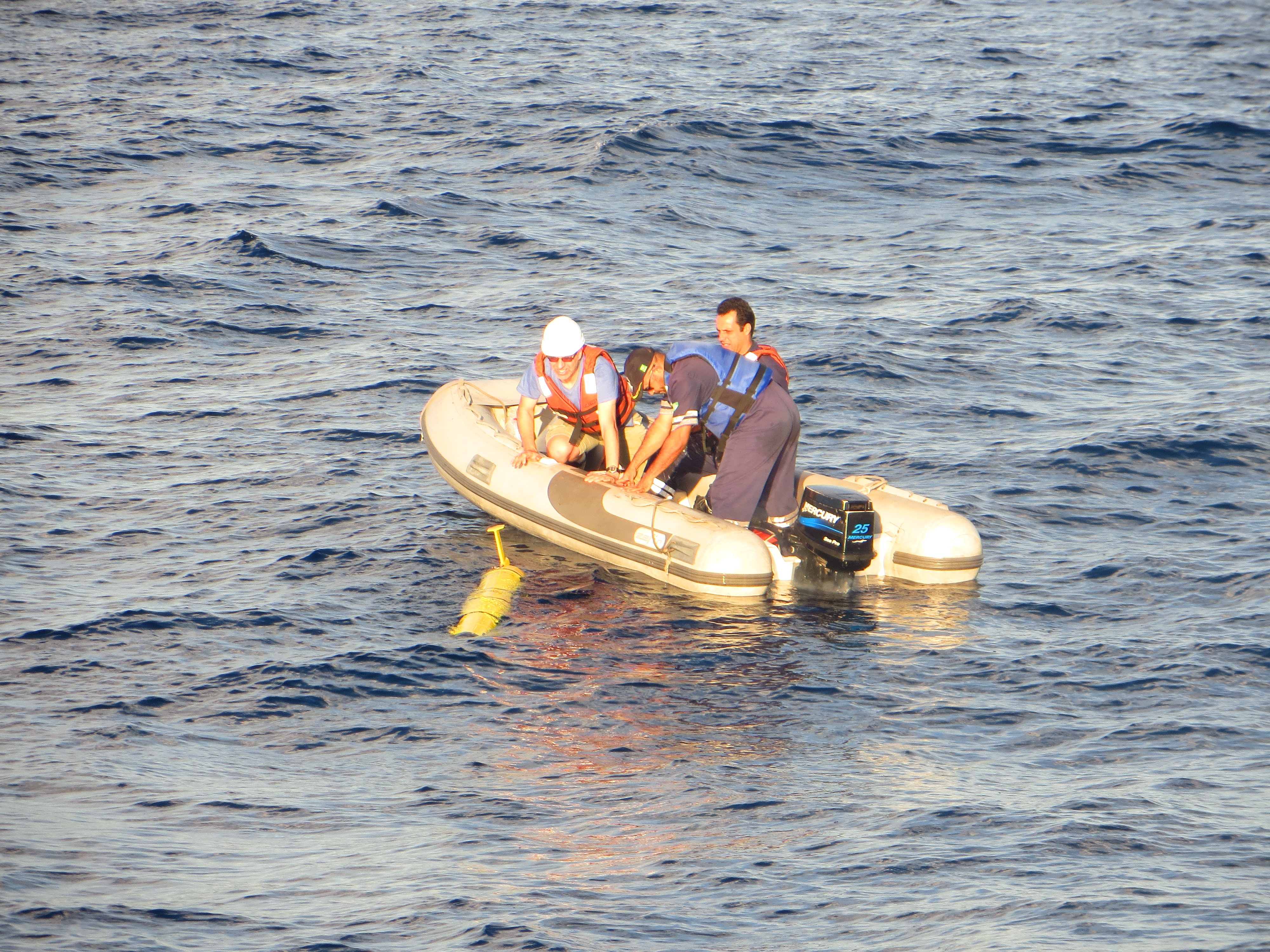
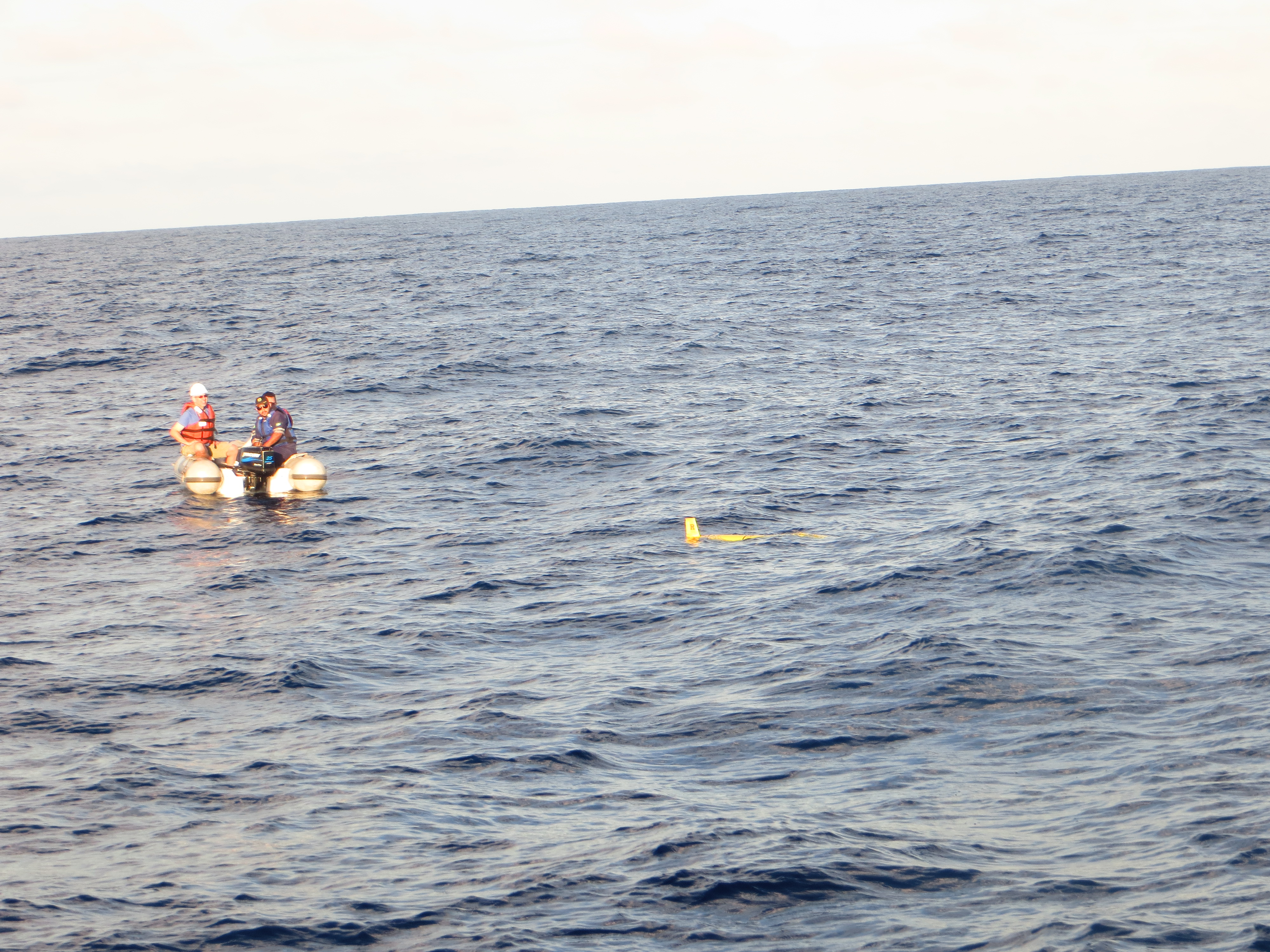
This past weekend Challenger crossed the 1000 km milestone on the trans-atlantic crossing from Brazil to South Africa.

RU 29 has completed the first 1000 km of the mission
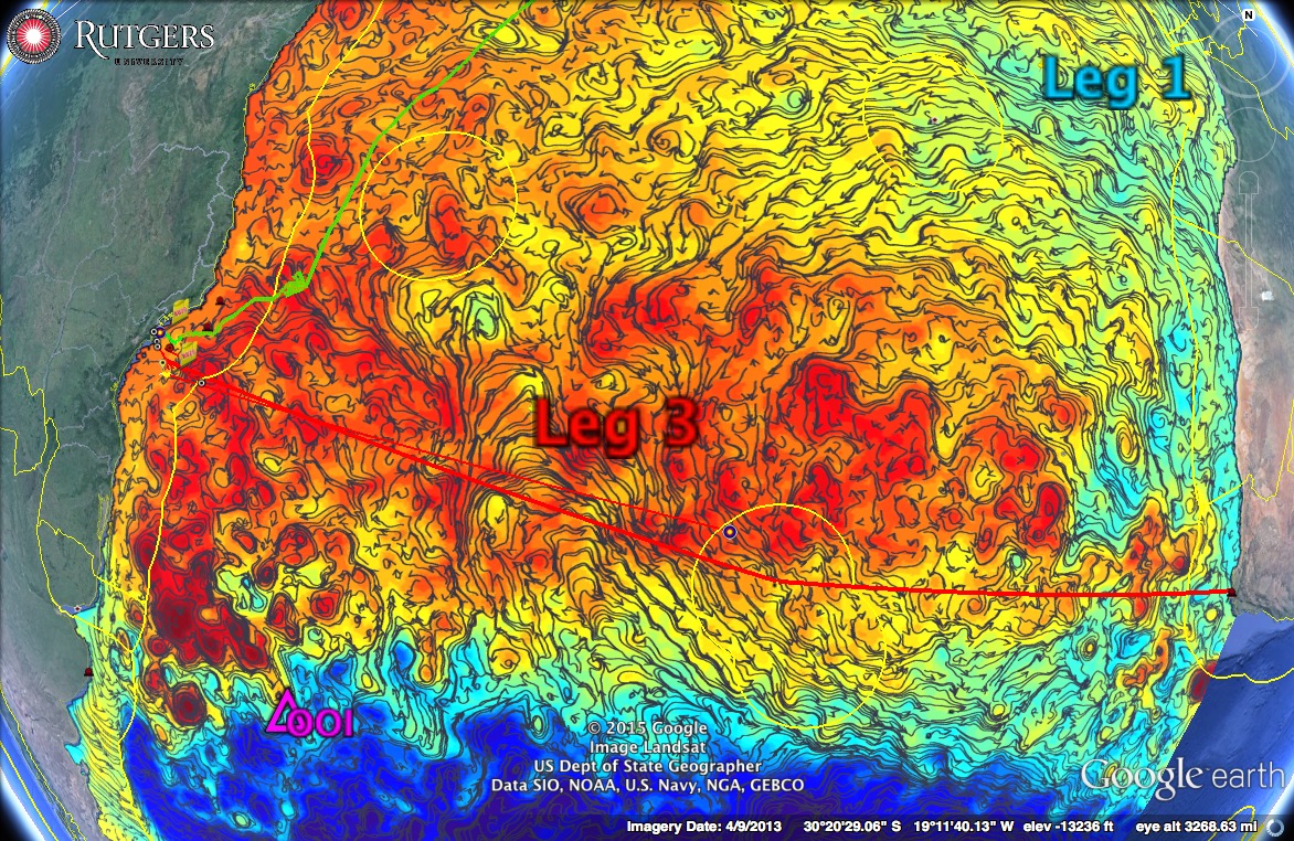
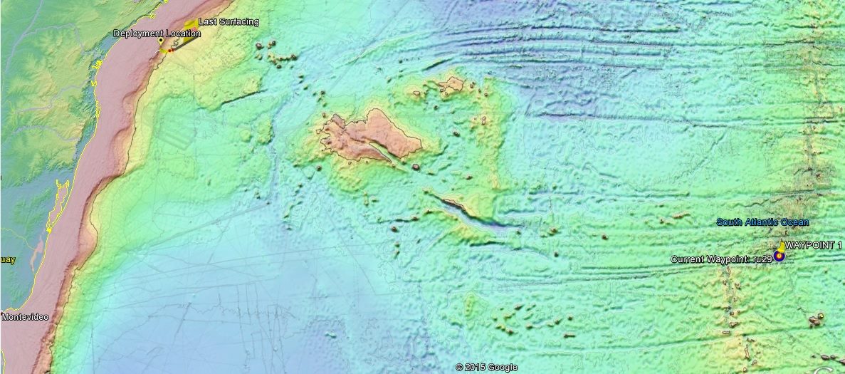
Now at 1041 km into the mission, 29 is now roughly 1/6 along the projected path passing by Tristan de Cunha to Cape Town.

RU29 Crossing the South Atlantic
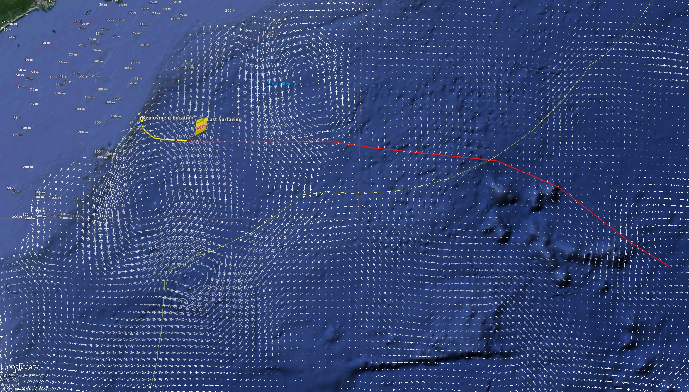
Looking to the forecasted currents, the two models are both showing that Challenger is flying down the eastern side of a cold core eddy which combined with the new way point from Friday has led to an extra ~3km per surfacing. Despite the increased distance, Challenger is continuing to show a slight overall flux to the north through its calculation of depth average currents.

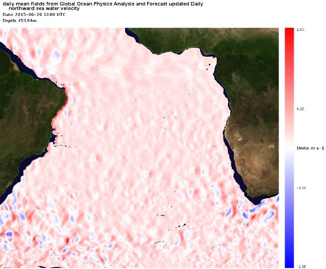
Copernicus Averaged Currents August 03

RTOFS Averaged Currents August 03
Moving at this pace, we will continue to have Challenger pursue the current way point for another 2-3 days before we move the way point back east to account for the edge of the eddy we are currently taking advantage of
Force, Wind, Sea & Honor