Now over two months and roughly a quarter of the way into the mission, Challenger is continuing to make good time consistently reporting speeds of over 25km/day as she weaves her way through the stream of eddies across the South Atlantic.
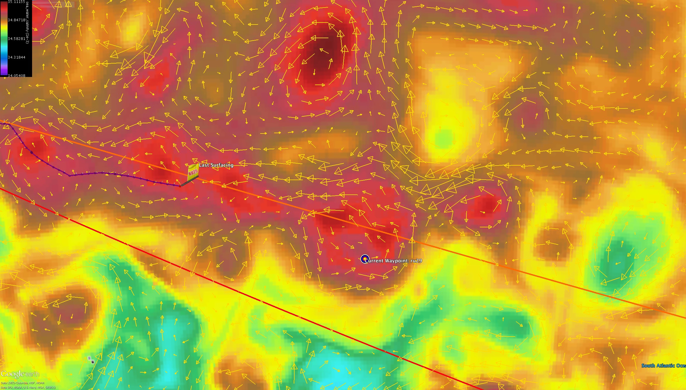
In a previous post, we had mentioned one of these large eddies to our East as being an interesting test case to study as RTOFS interpreted the area as being a large cold core eddy while Copernicus showed the area being two warm core eddies rotating to the north and south of the region. As we have approached this location and the forecast has evolved over the two weeks, the two models have come to a similar conclusion that there is a cold eddy solar system (cold eddy with a number of warm eddies surrounding it as seen below)
Looking at how the currents progress through this solar system, we unfortunately will have to take a southern route in order to keep our progress in the Eastward direction.
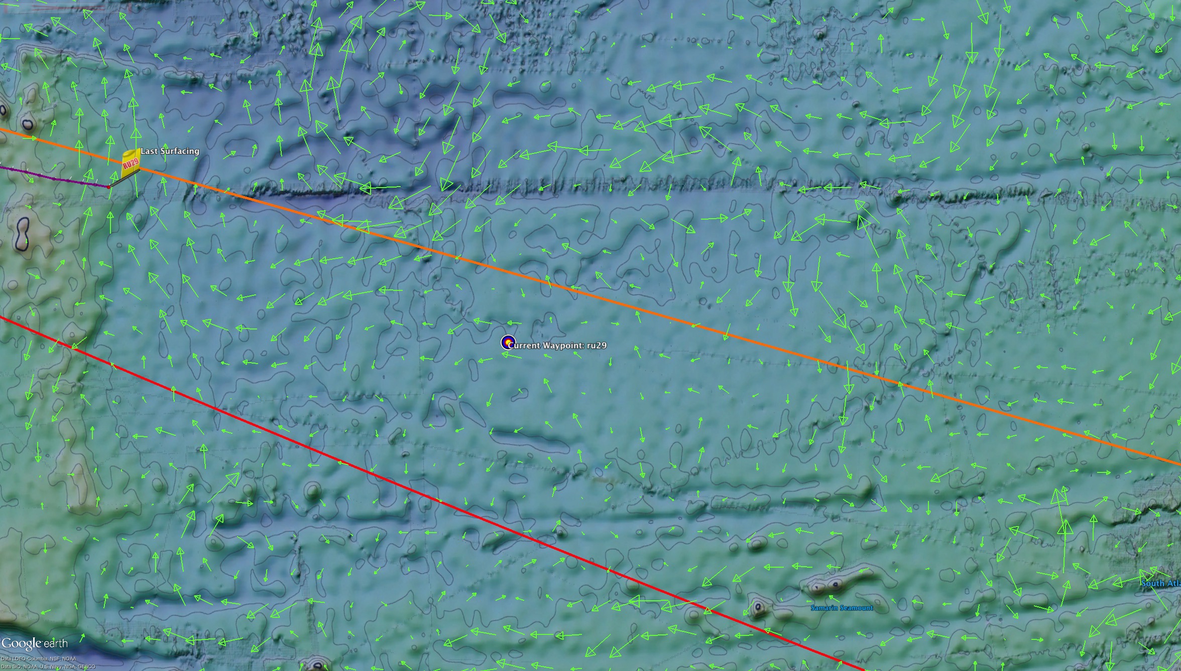
RTOFS Averaged Currents Sept 1 2015
Both models from our current location look to be agreeing to an extent as they are both showing the glider leaving the presence of a small warm eddy.
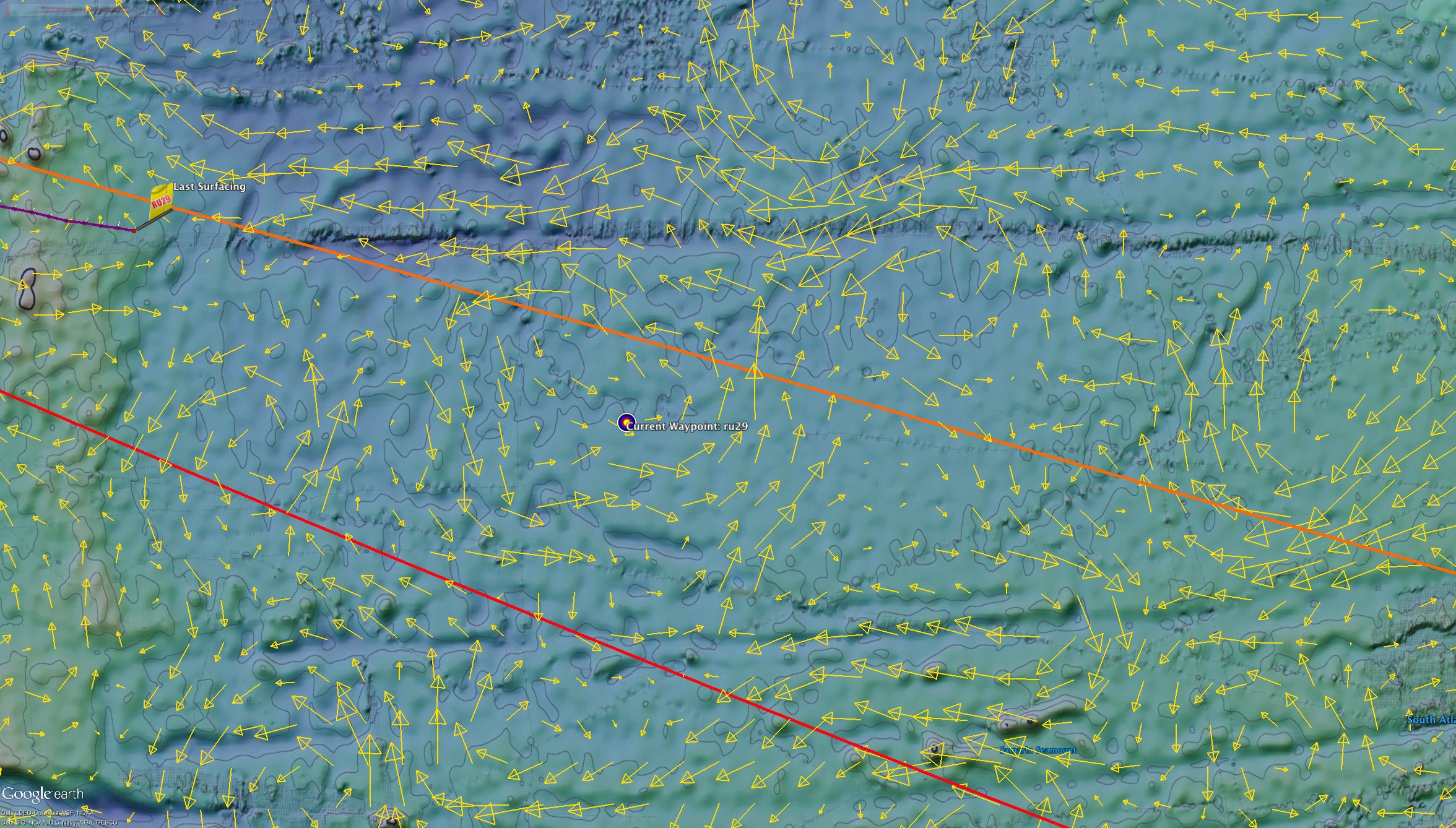
Copernicus Averaged Currents Sept 1 2015
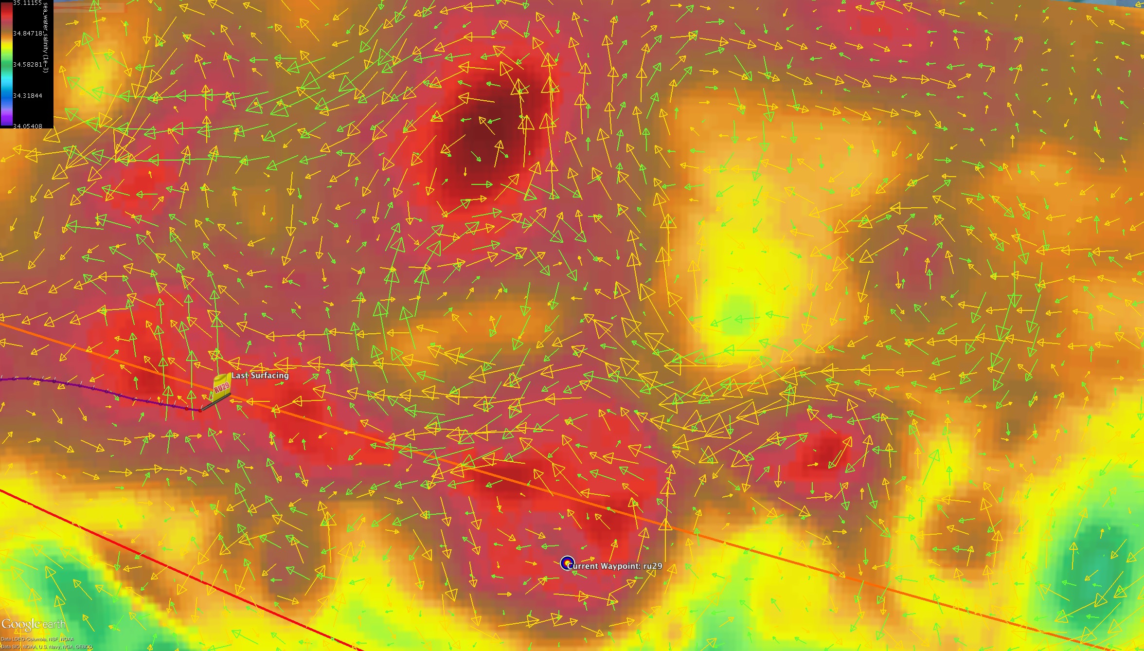
From here, we plan to continue following the southern edge of this stream of eddies outlined by the front in the salinity field (barrier between red and orange in the image below). Over the next week or so we will shift the way point further to the south as we line 29 up to step to the south east along that path
Copernicus Averaged Currents overlaid on top of the Salinity field for 500m depth Sept 1 2015
Finally, Dave recently noticed we have been getting oddities in the readings of the oil pump used to drive 29 and will be investigating the issue further.
Force Wind Sea & Honor